


Marine Safety SA July 2026 Newsletter
- School holidays are here - is your boat ready?
- Digital speed signs helping boaties slow down
- More protection for giant Australian cuttlefish
- Fresh look at Outer Harbor - New port beacons installed
- Safety in the palm of your hand
- Get a live view before you head out
- Cold water can be deadly - wear your lifejacket
- Coastal Hazard Warnings extended in South Australia
- Be alert for the national AusAlert test
You can subscribe to receive the Marine Safety SA quarterly eNewsletter here.
School holidays are here - is your boat ready?
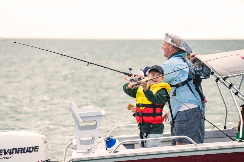
Are you planning a day on the water these school holidays? With winter conditions across South Australia preparation is more important than ever.
Before you launch, take the time to give your vessel a thorough check. Cold weather can put extra strain on your boat, so make sure you check the following essentials to make sure everything is in good working order:
- Battery
- Fuel system
- Engine
- Lights.
Regular maintenance can help prevent breakdowns and unexpected issues when conditions can be less forgiving.
It’s also the perfect time to check your safety equipment. Make sure lifejackets are in good condition, correctly fitted and ready to use. If you have inflatable lifejackets, check they have been serviced and functioning. Visit the Marine Safety SA website to check your lifejacket fit and learn more about looking after your lifejacket.
Whether you decide to head out now or wait for warmer weather, being prepared makes all the difference. Marine Safety SA provides helpful guidance on maintaining your vessel so you can make informed decisions and enjoy a safer time on the water.
Digital speed signs helping boaties slow down
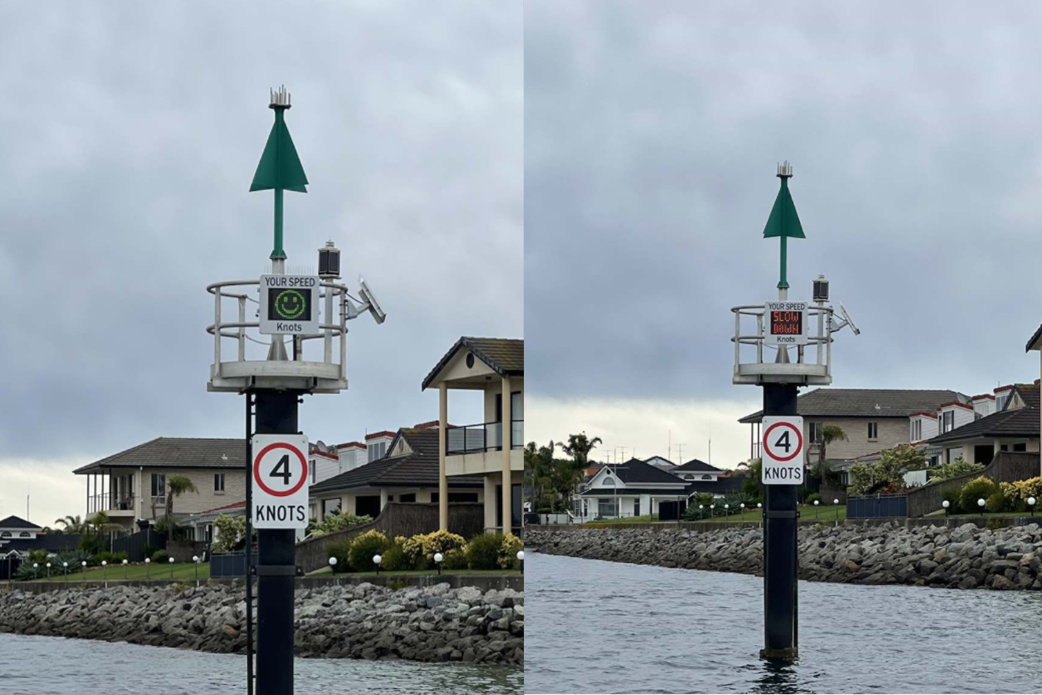
New electronic speed advisory signs are making a positive impact and helping to improve safety on South Australian waterways. Using radar technology, the signs display a vessel’s speed in real-time, providing a clear reminder to operators to stay within speed limits.
We have seen strong results from trials at North Haven and St Kilda, with average vessel speeds dropping by more than 30% at St Kilda and nearly 15% at North Haven.
Following the successful trials, additional signs have been installed at Barker Inlet on the Port River and Lincoln Cove Marina on the Eyre Peninsula, extending the benefits to more boating communities across the State.
In addition to improving safety, lower vessel speeds can also help to reduce harmful wash, improve safety for other water users and help protect the surrounding marine environment. In areas such as the Port River, it also supports the protection of local wildlife, including the dolphin population.
More protection for giant Australian cuttlefish
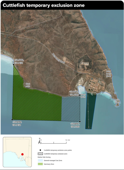
Boaters are reminded that a temporary 90-day exclusion zone is now in place at the Giant Australian Cuttlefish breeding site in Upper Spencer Gulf.
From 1 July, restrictions apply between Black Point and Stony Point, including the marine park sanctuary zone. The restrictions are in place to help protect breeding cuttlefish, their eggs and hatchlings.
The restrictions apply to vessel anchoring and in-water recreational activities such as swimming, snorkelling and diving.
Recent surveys by the South Australian Research and Development Institute (SARDI) and the Department for Environment and Water (DEW) have recorded a significant decline in cuttlefish numbers this breeding season, prompting the temporary protection measures.
Boaters planning to visit the area are encouraged to check the latest information and maps before travelling. For full details on the exclusion zone and current requirements, visit the Department for Environment and Water (DEW) website.
Fresh look at Outer Harbor - New port beacons installed
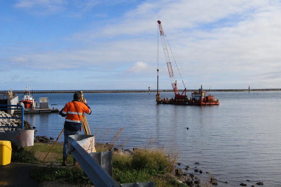
Boaters launching from Outer Harbor and other coastal locations may notice fresh additions on the water, with several port beacons recently replaced as part of ongoing marine safety improvements.
These new beacons have taken the place of older structures, continuing their important role in helping boaties clearly identify the port (left) side and navigate safely through channels and out to sea.
These upgrades help ensure the beacons remain easy to see, reliable and fit for purpose, especially in low light or poor weather conditions. It’s a small but important improvement that supports safer journeys for everyone on the water, whether you’re an experienced skipper or new to boating.
Next time you launch, keep an eye out for the updated beacons.
Safety in the palm of your hand
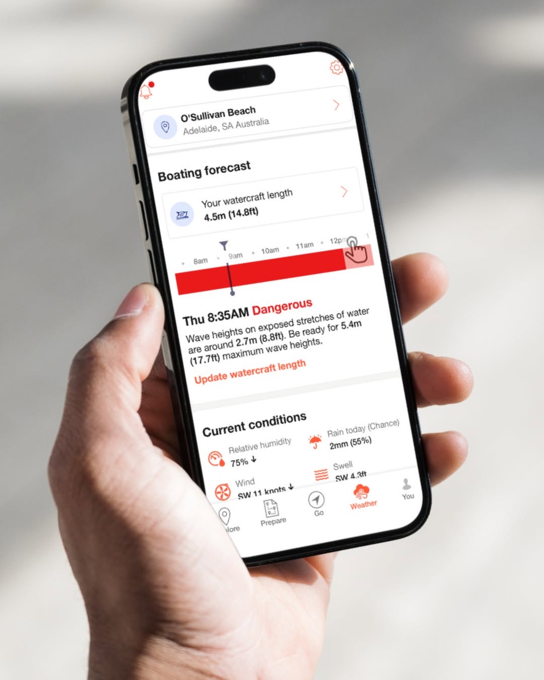
With the recent rough weather across South Australia, it’s a timely reminder that conditions on the water can change quickly.
The DECKEE app is a simple way to stay up to date, and provides real-time alerts, weather updates and safety information to help you plan ahead and stay safe.
Before launching, take a few minutes to check for any weather warnings, hazards or changes in conditions in your area. You may experience strong winds and swell to reduced visibility and local hazards, so having access to up-to-date information can help you make better decisions and avoid unnecessary risks.
DECKEE can also help you stay on top of your safety equipment. The app allows you to log items such as lifejackets, flares and other safety gear, and set reminders for upcoming expiry dates.
Keeping your equipment current and in good condition is just as important as checking the forecast before every trip.
A quick check of DECKEE before heading out helps you stay prepared, stay safe and enjoy your time on the water.
Download the DECKEE app via Google Play or the App Store.
Get a live view before you head out
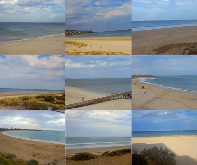
There are now 58 live web cameras across the State, providing boaters a snapshot of real-time conditions at popular boating locations.
The cameras help you see what’s happening on the water. From algal bloom, swell and wind chop to boat traffic, they offer a useful pre-launch check so you can see conditions before you head out.
As many of the webcams are solar powered, availability can vary depending on weather conditions and sunlight. While there may be times when a camera is temporarily unavailable, they remain a valuable planning tool before your trip.
For the best picture of conditions, combine a webcam check with weather updates from the DECKEE or BOM Weather apps to stay informed and make safer decisions before heading out. Remember if in doubt, don’t go out.
Check out the web cameras across metropolitan Adelaide and coastal locations.
Cold water can be deadly - wear your lifejacket
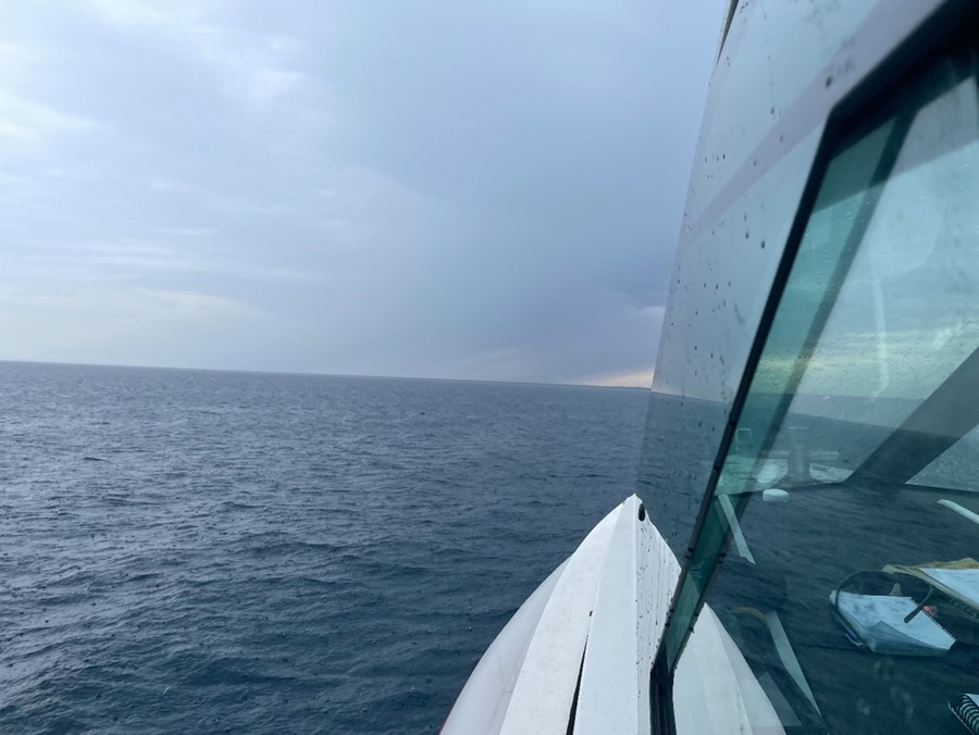
Falling into cold water can be life threatening, especially during the colder months. The sudden shock can cause gasping, rapid breathing and loss of control, making it easy to inhale water in those first critical moments. Even strong swimmers can quickly become overwhelmed.
Wearing a lifejacket won’t stop the cold but it can save your life and help you to stay above water while you get yourself back into your boat, or wait for help. Always wear your lifejacket over your outer layer. Wearing it under jackets or wet weather gear can prevent it from inflating properly and reduce its ability to keep your airway above water.
Coastal Hazard Warnings extended in South Australia
South Australians will now receive Coastal Hazard Warnings for abnormally high tides in coastal locations. These warnings were previously only issued for Gulf St Vincent and Spencer Gulf.
Abnormally high tides are sea levels that are higher than the usual highest tides and could lead to flooding of low-lying coastal areas. Learn more about Coastal Hazard Warnings on the Bureau of Meteorology (the Bureau) website.
The Bureau will issue Coastal Hazard Warnings in South Australia through bom.gov.au and the BOM Weather app. Marine wind warnings and coastal forecasts and observations will continue to be issued to inform people about marine conditions.
You can stay up-to-date with the latest warnings on the Bureau's website, or download the BOM Weather app and set warning notifications for your location.
If a hazard is in the area you are visiting, follow the advice of local emergency services.
Be alert for the national AusAlert test
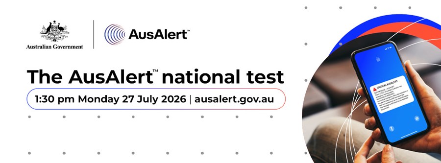
AusAlert, a new national emergency warning system, will launch in October 2026. The system is designed to help people be informed and better prepared during local and national emergencies.
AusAlert uses cell-broadcast technology to send near-instant emergency messages to mobile devices. It could be used during natural hazards (e.g. bushfires or floods), or during significant events (e.g. public health emergencies or public safety incidents).
Before it launches, it is being tested to make sure it works as intended. A national test is planned for 1.30pm ACST (local time) on Monday, 27 July. This follows local community-based tests held across Australia throughout June this year.
Compatible mobile devices may receive a test Critical Alert. The alert may cause devices to vibrate and play a loud siren-like warning sound for around 10 seconds.
As this is only a test, no action is required. Do not call Triple Zero (000).
The Critical Alert may cause a vibration and a siren-like warning sound even if your device:
- is set to ‘silent’ or ‘do not disturb’
- does not have a working SIM card.
You cannot opt out of receiving Critical Alerts.
If receiving the test Critical Alert may cause stress or harm, and you do not want to receive it, you will need to turn your device off or switch to aeroplane/flight mode before the alert time and remain in aeroplane/flight mode for at least one hour after the alert.
To learn more watch the explainer video or visit the AusAlert website.